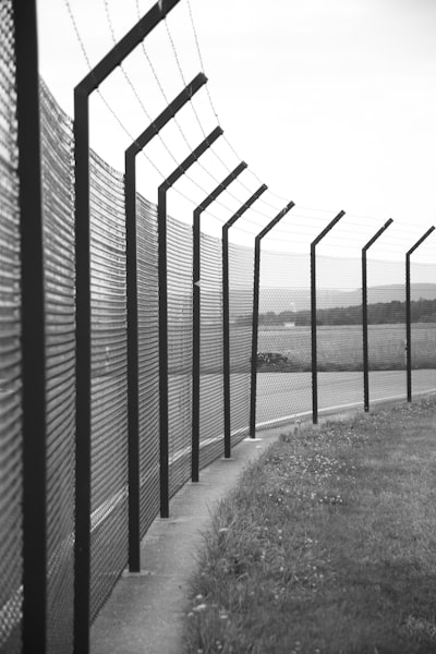
Borders are odd creatures. From space, Earth looks seamless—a swirl of blues, greens, browns, and clouds. But on the ground, an invisible line can change the language you speak, the food you eat, or the stories you tell. It’s remarkable, when you think about it, how much meaning we pile onto these pencil-thin marks on a map. A border appears: suddenly, a river is guarded, a forest is off-limits, or a road is barricaded in the name of sovereignty.
This is not just a modern phenomenon. Historians love to recount tales of borders that slipped and slid like water: the Great Wall of China was as much a psychological barrier as a physical one, while the border between Scotland and England was for centuries a shifting frontier, scattered with feuding families and makeshift fortresses.
Even more curious are the border anomalies left behind as colonial powers drew straight lines that paid little heed to ancient cultures. In Africa, some villages are split in half by international boundaries: one half attends weddings in Ghana, while the other half buries their dead in Togo. In Baarle, a jumble of Belgian enclaves surrounded by Dutch land creates a patchwork of property lines—some houses have two addresses and different tax laws on either side of the living room.
Borders are sometimes closed for dramatic reasons—like disputes, pandemics, or politics—but what would happen if we could suddenly see all the invisible lines on Earth? Imagine a world map lit up by human boundaries, each border glowing brighter with every story, every scar, every family divided or united across the line. Would we feel more connected, or more divided than ever?
This article was inspired by the headline: 'Thailand closes land crossings during border dispute with Cambodia - BBC'.
Comments
No comments yet. Be the first to comment!